
Main image
Click to view image in fullscreen
![]()
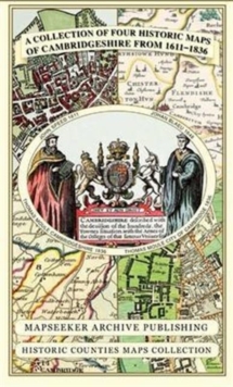
Cambridgeshire 1611 - 1836 - Fold Up Map that includes Four Historic Maps of Cambridgeshire, John Speed's County Map of 1611, Johan Blaeu's County Map of 1648, Thomas Moule's County Map of 1836 and Thomas Moule's Plan of Cambridge City 1836
260,00 DH
Sur commande
| ISBN / EAN | 9781844918157 |
|---|---|
| Auteur | Mapseeker Publishing Ltd. |
| Editeur | Historical Images Ltd |